
Drone Technology: History, Types and Applications
A drone is an unmanned aircraft: an aircraft intended to be flown without a pilot on board.[1] This page explains the terms drone, UAV and UAS, how the main designs differ, how a drone system works, where drones are used, and what rules and risks apply. Rules are national, so the regulation section is about the United Kingdom only.
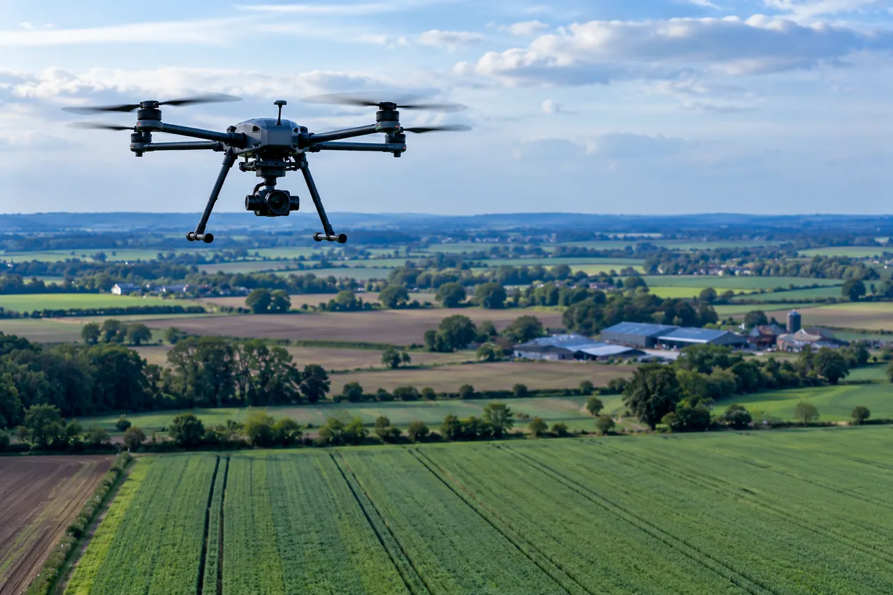
Short answer
- “Drone” is the everyday word for an unmanned aircraft. In UK regulation, an unmanned aircraft system (UAS) is the aircraft together with the equipment used to control it.[1, 2]
- The three common designs are multirotor, fixed-wing and hybrid. A 2025 review describes general tendencies: multirotors hover and manoeuvre but have shorter range, fixed-wing aircraft fly longer and farther but cannot hover, and hybrids sit in between. Individual models differ.[3]
- Established uses include mapping, monitoring and photography. Routine flying beyond the pilot’s direct sight is a UK aim for 2027, not yet routine.[4]
How to read this page. Numbers in square brackets point to the sources under References. A statement without a number is our own plain-language explanation or illustration, not a research finding. Labels mark each use as Established, In development or Forecast. Regulatory information is for the UK, was checked on 28 October 2026, and can change.
What is the difference between a drone, a UAV and a UAS?
They overlap, and different organisations use them differently. The table shows the main terms and who uses them.
| Term | Meaning | Note |
|---|---|---|
| Unmanned aircraft | ICAO: any aircraft intended to be flown without a pilot on board. It can be remotely controlled or pre-programmed to fly without intervention.[1] The UK CAA: an aircraft that can fly autonomously or be remotely piloted, without a pilot on board.[2] | The broad, formal term. |
| Unmanned aircraft system (UAS) | The CAA: an unmanned aircraft and the equipment to control it remotely.[2] ICAO’s page defines a UAS as an aircraft and its associated elements operated with no pilot on board.[1] | Used in regulation. Stresses the whole system, not just the aircraft. |
| Remotely piloted aircraft (RPA) and system (RPAS) | ICAO: an RPA is an unmanned aircraft piloted from a remote pilot station. An RPAS adds that station, the required command-and-control link and other components.[1] | A narrower term: a human pilots the aircraft remotely. |
| Drone | The CAA lists drones, such as rotary-wing and fixed-wing drones, as common types of unmanned aircraft, and separately lists model aeroplanes, gliders and helicopters.[2] | The everyday word. The CAA page we read gives no formal definition of it. |
| UAV (unmanned aerial vehicle) | Widely used in research papers for the aircraft itself, as in the 2025 review cited on this page.[3] | Our observation. The ICAO and CAA pages we read do not define “UAV”. |
What is the history of drones?
Early drones were military targets and experiments, and civilian use grew later. The milestones below come from museum and agency sources. Accounts differ on some early dates and on where the word “drone” comes from.
| When | What happened | Note |
|---|---|---|
| March 1917 | A small radio-controlled British aircraft, the Aerial Target, was first tested; IWM calls it the first drone to fly under control.[5] | Not used operationally in the war.[5] |
| October 1918 | The American Kettering Bug, an aerial torpedo, first flew.[5] | Not used operationally in the war.[5] |
| 1935 | A British radio-controlled target based on the Tiger Moth trainer, the Queen Bee, was produced. IWM suggests that the word “drone” came into use around this time, inspired by its name.[5] | IWM says “suggests”; accounts of the word’s origin vary. |
| Vietnam War | Reconnaissance drones were first used on a large scale.[5] | Military use grew, and IWM also raises ethical concerns about drone strikes.[5] |
| 2004 | The USGS says it first used a UAS to acquire data during a volcanic event at Mount St Helens, Washington.[6] | The USGS created a National UAS Project Office in 2008.[6] |
| Today | IWM lists climate change monitoring, disaster search operations, photography, filming and goods delivery among civilian uses.[5] | A broad list, not a measure of how common each use is. |
What types of drone are there?
Drones are often grouped by how they stay in the air. The three most common designs are multirotor, fixed-wing and hybrid vertical take-off and landing (VTOL). Other designs, such as flapping-wing drones, also exist.[3]
-
Multirotor
- How it flies
- Several rotors, typically four to eight, provide lift and control. It takes off and lands vertically and can hover.[3, 6]
- Typical strengths
- Manoeuvrability and stability in the air; hovering over one spot.[3]
- Typical limits
- Shorter range, lower endurance and generally a lower payload than fixed-wing designs.[3]
- Typical uses
- Aerial photography, building inspection and surveillance.[3]
-
Fixed-wing
- How it flies
- Airplane-like wings provide lift in forward flight. It generally needs a runway, catapult or similar launch, and cannot hover.[3, 6]
- Typical strengths
- Long range, long endurance, high payload and speed.[3]
- Typical limits
- No hovering, and it needs space or equipment to launch and recover.[3, 6]
- Typical uses
- Large-area mapping, environmental monitoring and reconnaissance.[3]
-
Hybrid VTOL
- How it flies
- Takes off and lands vertically like a multirotor, then transitions to wing-borne forward flight.[3]
- Typical strengths
- Vertical take-off with efficient long-range flight; versatile.[3]
- Typical limits
- Moderate on most measures, with higher maintenance complexity than the other two in the review’s comparison.[3]
- Typical uses
- Search and rescue, surveillance and remote monitoring.[3]
| Feature | Multirotor | Hybrid VTOL | Fixed-wing |
|---|---|---|---|
| Range | Short | Moderate | Long |
| Endurance | Low | Moderate | High |
| Payload capacity | Low | Moderate | High |
| Take-off and landing | Vertical | Vertical | Runway or other launch needed |
| Hover | Yes | Yes | None |
| Speed | Low | Moderate | High |
Our interpretation: the table is a simplification. A well-designed multirotor can fly for a long time on a large battery, and fixed-wing aircraft come in many sizes. Use the table to understand the trade-offs, not to rank models.
All rotorcraft take off and land vertically, while fixed-wing aircraft can be launched in several ways, including a conventional runway, hand throwing, a pneumatic catapult or a bungee, and recovered by methods such as a conventional landing, a belly landing, a parachute or a net.[6]
How does a drone system work?
The USGS says that drone systems of any size share the same operational components: the aircraft, its payloads, a communications unit and an operator control unit.[6] Each flight has three phases: launch, flight and recovery.[6] In flight, the aircraft can follow GPS waypoints that were loaded into its onboard flight control system beforehand, or be flown by a pilot on the ground by remote control.[6]
-
Aircraft
- What it does
- The platform that flies and carries any payloads.[6]
-
Payload
- What it does
- Equipment carried for the mission, such as a sensor or camera. It can also send live video, compass headings and location back to the operator.[6]
Where are drones used?
The table separates established uses from those still developing. These are examples from the sources, not a complete list.
| Field | Typical use | What the sources say | Status and limits |
|---|---|---|---|
| Agriculture | Precision farming and crop monitoring. | FAO says variable-rate technologies and drones can reduce water and pesticide use and labour and resource costs.[7] | Established A briefing paper that describes possibilities. |
| Surveying and mapping | Collecting imagery and data about land. | The USGS describes UAS as a cost-effective option for acquiring remotely sensed data, and reports mapping and monitoring uses such as landscape change.[6] | Established A 2015 US agency report. |
| Environmental research | Wildlife inventories, habitat mapping, shoreline and landscape change. | The USGS reports wildlife biologists, geologists, hydrologists and ecologists adopting the technology.[6] | Established Examples from one agency. |
| Infrastructure inspection | Checking power lines and wind turbines; site security. | The CAA’s 2024 policy for “atypical air environments” allows flights beyond the pilot’s direct sight near infrastructure, with power-line and wind-turbine inspection as examples.[8] | In development Under a new UK policy; the CAA says such flights were previously mainly trials. |
| Photography and filming | Aerial images and video. | IWM lists photography and filming among civilian uses.[5] | Established The IWM page gives no detail. |
| Emergency response | Assessing hazards; search and rescue. | The USGS says it used a UAS at Mount St Helens in 2004 and that its public-safety staff were interested in search and rescue and wildland firefighting.[6] IWM lists disaster search operations.[5] | In development “Interested in” describes interest, not operations. |
| Delivery | Moving small goods, including between hospitals. | IWM lists goods delivery among civilian uses.[5] The CAA’s roadmap lists last-mile delivery, including between hospitals, as example operations on a path towards routine flights.[4] | In development Forecast Planned operations, not a measure of use today. |
What are the benefits and limits of drones?
- Reach and cost. The USGS says drones let scientists observe remote places that were previously too dangerous or too expensive to monitor in detail, and describes small drones as relatively low cost.[6] The same report states a goal of large cost savings, which is a goal, not a measured result.[6]
- Trade-offs in design. A drone that hovers well generally has less range and endurance than a fixed-wing design.[3]
- Rules limit where and how drones can fly. In the UK, the Open category rules require direct sight of the aircraft and a height limit, and flying beyond the pilot’s sight needs more than the basic rules.[4, 9]
What are the safety, privacy and security issues?
Safety
The CAA’s Drone Code says that many of its rules are legal requirements, and that disobeying them is a criminal offence.[9] Its safety rules include keeping the aircraft in direct sight, flying below 120 m (400 ft) and staying well away from airports.[9]
Privacy and data protection
The Drone Code asks flyers with a camera to respect other people’s privacy, to let people know before recording, and to think before sharing and to keep photos and videos secure.[9] The ICO says organisations that use drones control the personal data the drones capture and must follow data protection law, and treats purely personal use differently. It notes that drones can record people inadvertently because they operate at height, and suggests steps such as an impact assessment, informing people, and avoiding continuous recording.[10]
Security
The sources we read cover safe operation and data protection, and the ICO recommends storing recorded data securely.[10] We did not find a source on drone cybersecurity or misuse that we could cite, so this page makes no claims about them.
What are the UK rules? (UK only, checked 28 October 2026)
The rules below apply in the United Kingdom, not elsewhere. The CAA’s Drone and Model Aircraft Code (CAP2320, March 2026) covers flying outdoors in the “Open” category’s Over People (A1) and Far from People (A3) sub-categories. It does not cover more advanced flying, which needs CAA authorisation.[9] Check the CAA’s website for the current version before you fly.
| Weight or class | Flyer ID | Operator ID |
|---|---|---|
| 250 g to under 25 kg (classes UK1 to UK4) | Required | Required |
| 100 g to under 250 g, with a camera (UK0) | Required | Required |
| 100 g to under 250 g, without a camera (UK0) | Required | Optional |
| Under 100 g | Recommended | Optional |
- You need a Flyer ID for a drone or model aircraft of 100 g or more, and an Operator ID if it weighs 250 g or more, or 100 g or more with a camera.[9]
- New models placed on the market from 1 January 2026 must have a UK class mark, from UK0 to UK6.[9]
- You must always keep the aircraft in direct sight, without binoculars or a screen, unless you use an observer as the Code describes.[9]
- You must not fly more than 120 m (400 ft) from the nearest point of the earth’s surface.[9]
- Distances from people and buildings depend on the drone’s weight or class and the sub-category. For many drones the Code requires at least 50 m from people, with exceptions for lighter ones, and in the Far from People sub-category at least 150 m from residential, recreational, commercial or industrial areas.[9]
This summary is not legal advice and is not complete. Always use the official CAA drone pages and the full Drone Code.
What new drone uses are emerging?
Forecast The main UK development is flying beyond the pilot’s direct sight (BVLOS), and it is a target, not yet routine. The CAA’s October 2025 roadmap states the objective of enabling routine BVLOS drone operations for government priority use cases, including the NHS, emergency services, infrastructure surveying and commercial delivery, with capability delivered step by step between then and 2027.[4] The roadmap’s example operations include inspection on a railway, seeding farmland, perimeter patrols and last-mile delivery.[4]
A related development is the link with mobile networks. 3GPP’s Release 17 and Release 18 lists include work on uncrewed aerial systems and vehicles,[11, 12] which we describe on the 5G and Beyond page. That is standardisation work, not a statement about what is deployed.
Our interpretation: the sources point in the same direction: regulators are working towards more flying beyond direct sight, step by step. Dates and scope in a roadmap are plans, and they can change.
Common questions
Do I need to register my drone in the UK?
It depends on its weight and whether it has a camera. A Flyer ID is needed from 100 g, and an Operator ID from 250 g, or from 100 g with a camera. Under 100 g neither is required, but the flying rules still apply.[9]
Can I fly a drone anywhere?
No. The Drone Code sets a height limit of 120 m, distance rules for people and built-up areas, and says to stay well away from airports and airfields.[9]
Is a drone the same as a model aircraft?
The CAA lists drones, such as rotary-wing and fixed-wing drones, and model aeroplanes, gliders and helicopters as examples of different kinds of unmanned aircraft, and its Drone Code covers both.[2, 9] The CAA page we read does not give a single rule that separates them.
Do drones fly themselves?
Some can. ICAO notes that an unmanned aircraft can be pre-programmed to fly without intervention,[1] and the USGS describes flights following GPS waypoints.[6] Under the UK Open category rules, though, the flyer must still keep the aircraft in direct sight.[9]
What does BVLOS mean?
It stands for beyond visual line of sight: flying a drone when the pilot cannot see it directly. The CAA describes it as a goal for routine operations by 2027.[4]
References
Each source is listed in the order it is first cited. The note under each one says what it supports and how it was checked. Where only an abstract or summary page was read, the note says so.
- Frequently Used Terms (ICAO UAS Toolkit). International Civil Aviation Organization. no date shown on the page.Supports: ICAO’s definitions of unmanned aircraft, remotely piloted aircraft, remotely piloted aircraft system and unmanned aircraft system. Checked against the page.
- What’s considered an unmanned aircraft?. UK Civil Aviation Authority (CAA). no date shown on the page.Supports: the CAA’s description of unmanned aircraft, drones, model aircraft and UAS. UK-specific. Checked against the page.
- Design and performance analysis of high-altitude UAVs: trends, challenges, and innovations. Shubham Rai, Abhishek Rawat and Ajit Kumar. Discover Applied Sciences 7, article 833. 2025 (open access).Supports: the comparison of fixed-wing, multirotor and hybrid VTOL UAVs. The review focuses on high-altitude work and gives general tendencies; individual models differ. Checked against the full text (PDF).
- Future of Flight: BVLOS Roadmap (CAP3182). UK Civil Aviation Authority (CAA). October 2025.Supports: the objective of routine beyond-visual-line-of-sight operations by 2027 and the example operations described. These are targets and plans, not results. Checked against the full text (PDF).
- History of drones. Imperial War Museums. published 30 January 2018; last modified 5 August 2026 (from the page’s metadata).Supports: the early drone milestones, the Queen Bee and the possible origin of the word “drone”, and the list of civilian uses. A museum overview, so it simplifies; other accounts differ on some early dates. Checked against the page.
- U.S. Geological Survey Unmanned Aircraft Systems (UAS) Roadmap 2014 (Open-File Report 2015-1032). Jill Cress, Michael Hutt, Jeff Sloan, Mark Bauer, Mark Feller and Susan Goplen, U.S. Geological Survey. 2015.Supports: the parts and phases of a drone system, how drones are launched and flown, and the agency’s environmental and hazard uses. A US agency report from 2015, so some details are dated, and it states goals as well as results. Checked against the full text (PDF).
- Digital technologies in agriculture and rural areas: briefing paper. Nikola M. Trendov, Samuel Varas and Meng Zeng, Food and Agriculture Organization of the United Nations. 2019.Supports: the statement that variable-rate technologies and drones can reduce water and pesticide use and labour and resource costs. A briefing paper that describes possibilities. Checked against the full text (PDF).
- Infrastructure inspections with drones made easier under new rules. UK Civil Aviation Authority (CAA), news release. 15 October 2024.Supports: the “atypical air environments” policy and the inspection examples given. The CAA’s own announcement. Checked against the page.
- The Drone and Model Aircraft Code (CAP2320). UK Civil Aviation Authority (CAA). March 2026.Supports: the UK registration thresholds, class marks, flying rules and privacy rules quoted on this page. UK-specific; covers only the Open category sub-categories A1 and A3; rules change, so check the CAA’s current version. Checked against the full text (PDF).
- Unmanned Aerial Systems (UAS) / Drones. Information Commissioner’s Office (ICO), UK. no date shown; the page says it is under review because of the Data (Use and Access) Act.Supports: the ICO’s position on drones and personal data. UK-specific and under review, so check the live page. Checked against the page.
- Release 17 (3GPP specifications and technologies). 3GPP. functional freeze March 2022, as stated on the page.Supports: the Release 17 completion and its listed work areas (for example reduced-capability devices, non-terrestrial networks, non-public networks, uncrewed aerial systems). Checked against the page.
- Release 18 (3GPP specifications and technologies). 3GPP. page checked 28 October 2026.Supports: Release 18 as the start of 5G-Advanced and its main themes. The page’s freeze dates are in an image that could not be read, so no freeze dates are quoted. Checked against the page.